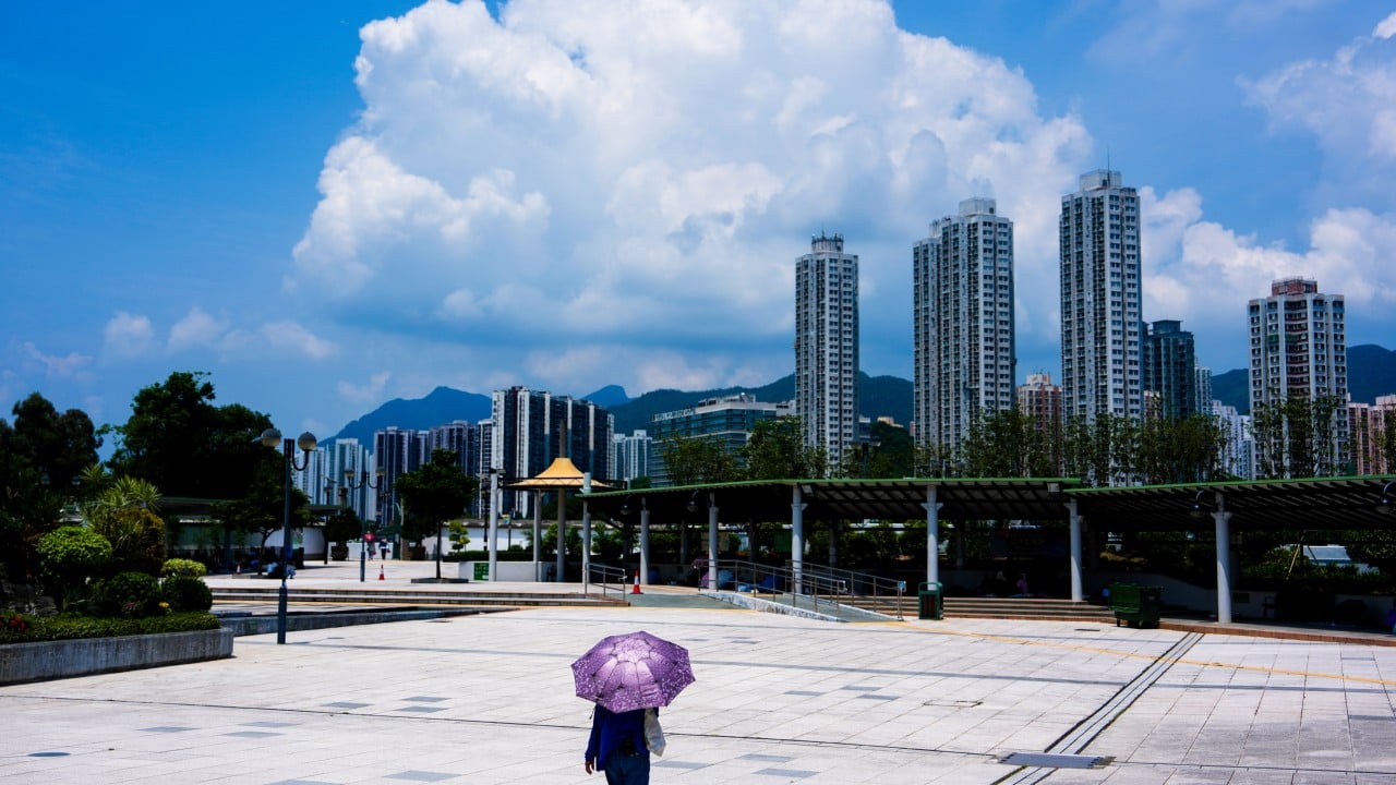
You step outside into a bright morning, think about leaving your umbrella behind, and suddenly get drenched by a wall of water ten minutes later. It’s a classic local summer experience. This week, the atmospheric chaos is shifting into overdrive. The Hong Kong Observatory heavy rain and squally thunderstorm warnings aren't just automated phone alerts; they are a sign of a massive weather system sitting right on top of the South China Sea.
Getting caught in a sudden downpour sucks. Understanding why it's happening helps you plan your day instead of just reacting to the latest push notification on your phone. The current weather setup is highly unstable, driven by a combination of atmospheric forces that refuse to budge. It means your commute is going to be unpredictable for the next few days.
Here is what is actually going on with the weather right now, why the system behaves so aggressively, and how to stay ahead of the next major downpour.
The Real Science Behind the Sudden Downpours
Many people blame bad forecasting when a sunny morning turns into a severe thunderstorm by lunchtime. It's not a mistake. It is the result of an active southerly airstream mixing with upper-air disturbances right over the Guangdong coast.
Think of the southerly airstream as a giant conveyor belt. It pumps warm, incredibly moist air directly from the tropical ocean into southern China. When this wet air hits the coastal hills of Hong Kong, it rises rapidly. If you inject an upper-air disturbance into that mix, the atmosphere becomes completely unstable.
The result is severe convective weather. Air rushes upward at high speeds, cooling rapidly and condensing into massive cumulonimbus clouds. These clouds act like overhead water buckets that can dump inches of rain in less than an hour. They also generate violent, squally winds that can easily flip umbrellas inside out and rattle windows across the territory.
What Squally Thunderstorms Actually Mean for You
The term squally thunderstorms gets thrown around a lot on the news, but it carries a very specific operational meaning for meteorologists. It means the storm isn't just bringing lightning and rain. It is also packing sudden, violent bursts of wind known as squalls.
These winds are different from the steady gales you feel during a tropical cyclone. Squalls hit out of nowhere. Downdrafts inside the storm cloud crash toward the ground and fan out horizontally. Wind speeds can jump from a gentle breeze to over 70 or 80 kilometers per hour in seconds.
If you are walking near high-rise buildings, these gusts accelerate down narrow streets. Construction sites, loose scaffolding, and temporary structures become immediate hazards. If you hear thunder or see the skies darkening, the wind is often the first thing that will catch you off guard.
Navigating the Colour Coded Warning System Smarter
The city uses a three-tier rainstorm warning system. Amber, Red, and Black signals tell you exactly how bad the situation is getting. Most people wait for the Red or Black signal before changing their plans, which is a mistake during a highly unstable southerly airstream.
An Amber signal means heavy rain has fallen or is expected to fall at a rate exceeding 30 millimeters per hour. It also means the rain is likely to continue. Under normal conditions, the city's drainage infrastructure handles this well. But when the ground is already saturated from days of persistent showers, even an Amber warning can cause localized flooding in low-lying areas like Northern New Territories or parts of Kowloon.
Red means the rate has topped 50 millimeters per hour. Black means a staggering 70 millimeters or more. By the time a Black signal goes live, roads are already turning into rivers, and public transport is grinding to a halt. The trick is tracking the regional rainfall data before the official color change happens. The MyObservatory app has a location-specific lightning and rainfall alert feature. Use it. If you see intense purple eco-returns on the radar moving toward your district, don't wait for the government to tell you to seek shelter.
Why Typhoon Bavi is About to Change Everything
While we deal with the immediate threat of downpours, a massive tropical system is spinning out in the Pacific Ocean. Typhoon Bavi is currently moving across the northwestern Pacific, heading toward the waters east of Taiwan and eventually toward eastern China.
It is hundreds of kilometers away. It will not hit us directly. Yet, it is going to completely alter our weather by the end of the week.
Typhoon Bavi will act like a giant atmospheric vacuum cleaner. As it draws air into its center, it forces air to sink on its outer edges. This is known as peripheral subsiding air. Sinking air warms up and prevents clouds from forming.
By the time we hit the weekend, the heavy rain will dry up. In its place, the subsiding air will trap heat over the Guangdong region. We are looking at a rapid shift from flash floods to extreme, oppressive heat, with daytime temperatures soaring up to 34 or 35 degrees Celsius. The humidity from the current rain will still be trapped near the ground, making the real-feel temperature feel significantly hotter.
Survival Tips for Commuters and Outdoor Workers
Dealing with this volatile weather requires tactical adjustments to your daily routine. Do not rely blindly on the morning forecast to dictate your whole day.
First, check the regional lightning nowcast before heading into transit. The Observatory can predict lightning strikes with decent accuracy up to an hour in advance. If your route takes you through open areas, over bridges, or near the harbor, a high lightning count means you need to delay your trip or find an indoor route.
Second, avoid the temptation to seek shelter under trees or temporary bus stops during a squally thunderstorm. The violent gusts can snap branches instantly. Concrete buildings or underground MTR stations are the only genuinely safe spaces when a storm peaks.
Third, if you drive, be wary of flooded underpasses. Hong Kong roads drain fast, but the sheer volume of water from convective storms can overwhelm local catchpits in minutes. If you see water covering the road ahead, do not try to drive through it. You risk stalling your engine and getting trapped as the water rises.
Your Immediate Action Plan
Stop guessing what the sky will look like in three hours. The atmosphere right now is too volatile for traditional eye-testing.
Open your weather app right now and look at the radar map, not just the daily summary icon. Look at the direction the rain bands are moving. Keep a sturdy umbrella and a waterproof jacket in your bag regardless of how bright it looks outside your window. If you have outdoor activities scheduled for the weekend, start shifting your plans indoors or prepare for intense, blistering heat as Typhoon Bavi approaches. Stay alert, track the live radar updates, and don't get caught unprepared.

_03.jpg)